Official Name:
边墙壕障城BianQiangHaoZhangChengOur Name:
/
Other Name:
/
Period:战国赵 / Warring States 475~221 B.C.
Location: 内蒙古自治区,包头市,青山区,兴胜镇边墙壕村西南1千米 / NeiMengGuZiZhiQu,BaoTouShi,QingShanQu,XingShengZhenBianQiangHaoCunXiNan1QianMi
[
Looking Local List]
Details:长城类别:关堡
经纬高度:东经:109° 48′ 北纬:40° 42′ 海拔:1107
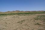
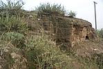
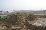
总体情况:现在障城附近的长城墙体已完全消失,但障城北墙尚存。在北墙的一处断面上我们测得,底宽5.5米,顶宽5米,高1米,夯土夯筑,夯层厚0.06米-0.10米。根据残存的痕迹,我们测得障城南北110米,东西宽70米。
附近遗存:与昆都仑召障址隔沟相望,相距620米,北距昆都仑沟障城2600米。
Type:堡 Fort
Protection Level:无
Content:
Memo:
Other Records:
Distribution:
visit location in Tianditu Map[recommend] Distribution:
visit location in Tencent QQ Map Distribution:
visit location in Google MapDistribution:
visit location in Baidu MapNational ID:150204353102020001
The original number submitted by the local government :150204353102020002
(when the Great Wall is identified, the data whose code has been adjusted will display the original number submitted by the local government before revision, which can be used by the local cultural relics department when checking the local data.)
Action:[
 Save in Data Basket
 ]
Picture:
Click the thumbnail to view the Big Pic. Click the Big Pic to Hide the Big Pic![Caption:边墙壕障城
loading images --Please wait...]()
![Caption:二相公障城
loading images --Please wait...]()
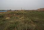
![Caption:二相公障城
loading images --Please wait...]()
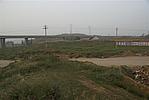
![Caption:二相公障城
loading images --Please wait...]()
![Caption:二相公障城
loading images --Please wait...]()
![Caption:二相公障城
loading images --Please wait...]() Photo Links
Photo Links:
 Search ::
  My Data Basket ::
  Favorite/My Favorite :: Recent Changes :: :: Login
 Save in Data Basket ]